Thorani
Data infrastructure for crop-insurance claims: photos from farmers, satellite radar and weather data assembled into evidence that insurers and farmers can both check.

The problem
Many smallholder farmers have no crop insurance. After extreme weather, claims are slow to verify and easy to dispute, so farmers are left without evidence of what they lost.
Understanding a problem begins with listening to the people who live with it.
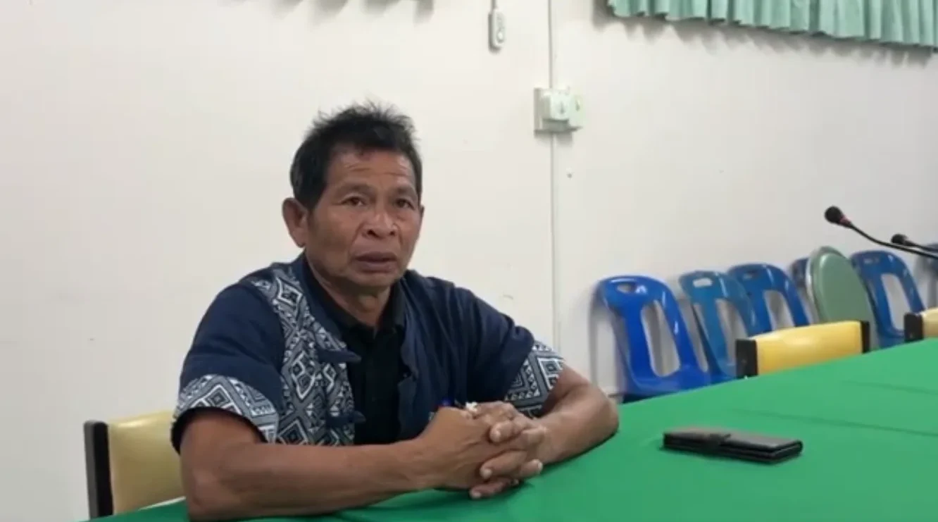
Listening first
We interviewed farmers, insurers and other stakeholders in Taiwan and Thailand, about agricultural insurance, conflicting incentives, and what stops people adopting something new.
The interviews showed us how differently farmers and insurers understood the same problem. They could agree that agricultural insurance should improve, yet disagree on what a workable solution would look like or who should take responsibility. Finding common ground became as important as developing the technology.
The system
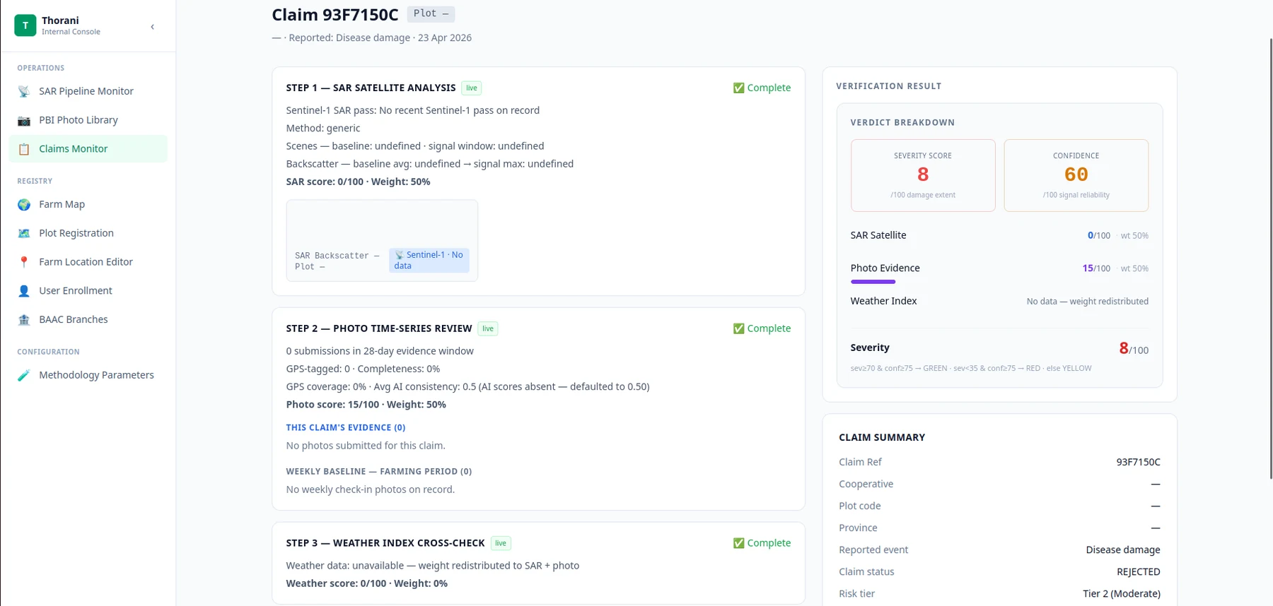
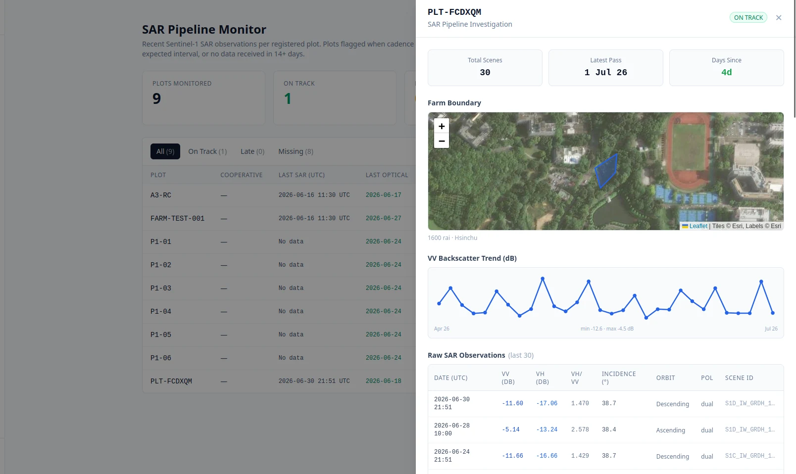
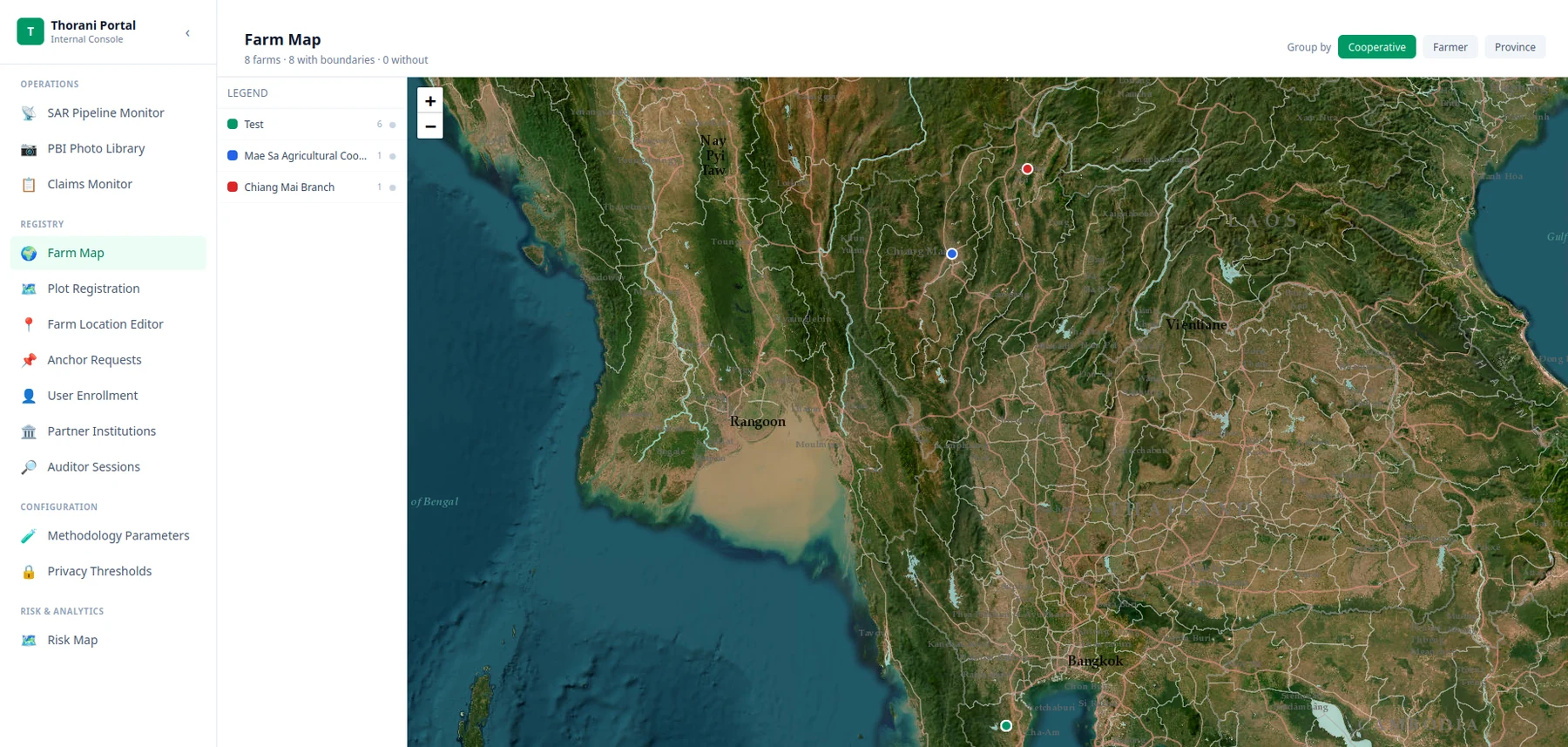
Farmers map their field and send photos through a mobile app. When they claim, the system assembles ten evidence signals — GPS, photo integrity, comparison with the farm’s earlier photos, satellite radar change, weather records — for a human adjudicator in a claims workbench. No claim is decided automatically.
The backend and image-model service were deployed; the apps were never released to farmers, and the damage-classification models still needed labelled data.
Supabase · PostGIS · React · Expo · FastAPI on Cloud Run · DINOv2 · Earth Engine
Winding down
Thorani was incorporated in Hong Kong in June 2026 and is now closing.
We decided to wind down Thorani because we had not found customers for the business. A phone conversation with a government officer also shaped how I understood the barriers we faced. He argued that the problem was political as much as technical: changing agricultural insurance would affect existing benefits, farmers’ interests, and electoral considerations. Even a change intended to benefit farmers in the long term could face resistance over what they stood to lose in the present.
That conversation helped me understand why a better technical solution might still struggle to find adoption. Developing Thorani meant learning about the people, incentives, and institutions around the technology. Technology creates new possibilities, while politics, trust, and competing interests shape whether people can put them into practice. I want to carry that understanding into whatever I build next.