01The question
I remembered news of firefighters dying during rescue operations in Hong Kong when I was young. While we were choosing our capstone topic, another tragedy happened in Taiwan, bringing that memory back. With technology advancing so quickly, why couldn’t we do more to reduce the dangers firefighters faced, especially the risk of losing their lives?
We finalised this idea after four months of brainstorming and discussion. We interviewed firefighters, read reports of fire scenes, and asked what firefighters lacked when they went inside: a map of the building, and a way to find people in smoke.
02The system
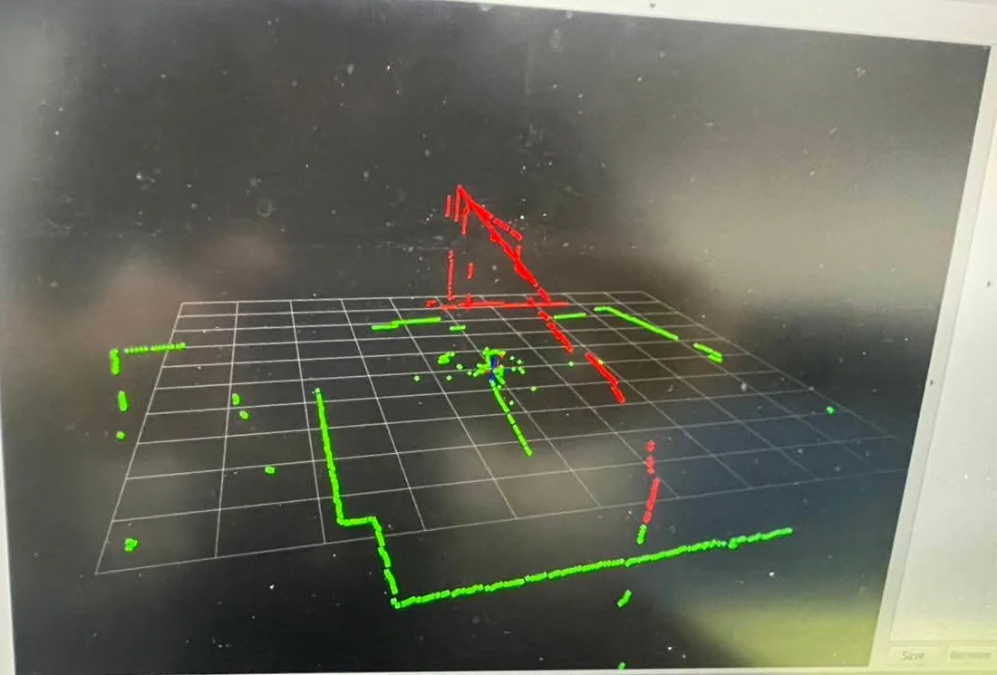
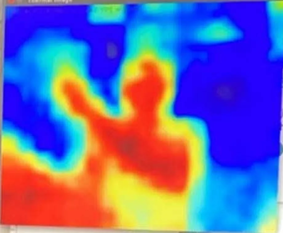
The software was developed against a Gazebo simulation: PX4 flying an x500 quadcopter that carries a horizontal and a vertical 2D LiDAR, an IMU and a thermal camera. ROS 2 nodes take the sensor streams, build a map, decide where to explore next, and send velocity commands back to the flight controller.
03What I did
- Choosing the SLAM approach Compared LIO-SAM, RTAB-Map and Google Cartographer, and selected Cartographer for the intended application.
- Gazebo simulation environment A simulated world and an x500 quadcopter with dual 2D LiDARs, an IMU and a thermal camera, bridged into ROS 2.
- System design and data pipeline Designed how the parts fit together, from sensor streams through mapping and exploration to flight commands, and integrated them into one ROS 2 pipeline.
- Control and decision-making Explored frontier-based exploration weighted by thermal readings, a reactive safety layer, and an offboard bridge that sends velocity commands to PX4.
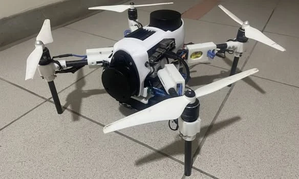
- The hardware drone Chose the sensors, and worked out which onboard computers they needed.
- Leading the team Alongside the software and algorithms, I coordinated meetings, helped set the direction and kept track of progress with the team. When we disagreed over whether to continue with the drone or switch to an autonomous car, I initially reacted too strongly. Bringing everyone together afterwards helped us understand the different goals behind our positions and agree on a way forward.
04Decisions
05Where it stopped
A complete autonomous flight — take-off, mapping, search and return — was not demonstrated.
The project ended with our capstone demonstration. Looking back, our understanding of the problem limited how we approached it: we spent time on assumptions that did not hold and struggled to identify the real bottlenecks. If I started again, I would seek specialist robotics guidance earlier and test the most uncertain assumptions sooner.
06Evidence